

Drone magnetic surveys are a modern, efficient method for mapping variations in the Earth's magnetic field, especially in mineral exploration
What is a Drone Magnetic Survey?
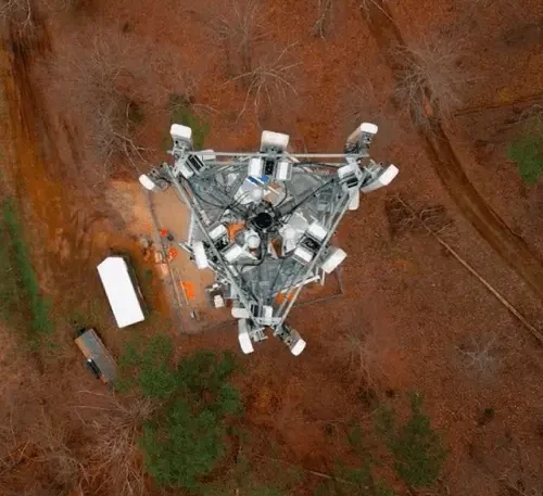
lightweight magnetometer (typically a cesium vapor or fluxgate sensor) on a drone (UAV) to measure the magnetic field while flying over a survey area along planned grid lines
✅ Advantages
• High-resolution data
• Cost-effective compared to manned aircraft
• Safe access to remote, rugged, or dangerous terrain
• Rapid deployment & data acquisition
⚙️ Key Components
• Drone/UAV platform
• Magnetometer sensor
• GPS module for accurate positioning
• Flight planning software and data logging tools
📏 Survey Specs
• Flight height: Typically 20–50 meters
• Line spacing: 10–50 meters
• Sampling rate: 10–200 Hz
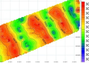
• Output: Total Magnetic Intensity (TMI) maps and anomaly models
🧭 Applications
• Mapping dykes, faults, folds, and intrusions
• Guiding drilling targets
• Regional or detailed geology